
Al Baha Studio
Home
Urban Planning
Project Details
Introduction
A specialized technical center within the Strategic Office for the Development of the Al-Baha Region, aiming to enhance the urban identity and implement Saudi architectural principles according to the highest standards. It works on:
- Reviewing architectural designs to ensure their compliance with approved design guidelines;
- Raising awareness and introducing Saudi architectural styles and their application methods;
- And studying the impact of urban identity on improving the built environment and the urban landscape.
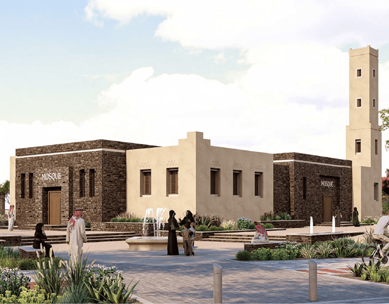
Launch of the Saudi Architecture Map
On March 16, 2025, His Royal Highness Prince Mohammed bin Salman bin Abdulaziz Al Saud, Crown Prince and Prime Minister, launched the Saudi Architecture Map. The map features 19 architectural styles inspired by the Kingdom’s diverse geographical and cultural characteristics. This initiative reflects His Royal Highness’s commitment to celebrating Saudi architectural heritage, enhancing quality of life, and developing the urban landscape across Saudi cities aligning with the goals of Saudi Vision 2030.


Launch of the Al-Baha Studio
As part of the second phase of the Saudi Architecture Program, the Al-Baha Studio was launched on October 2, 2025. The studio aims to activate and implement the region’s distinctive architectural styles the Sarawat Mountains style and the Tihama Foothills style to strengthen and promote the architectural identity of the Al-Baha region.

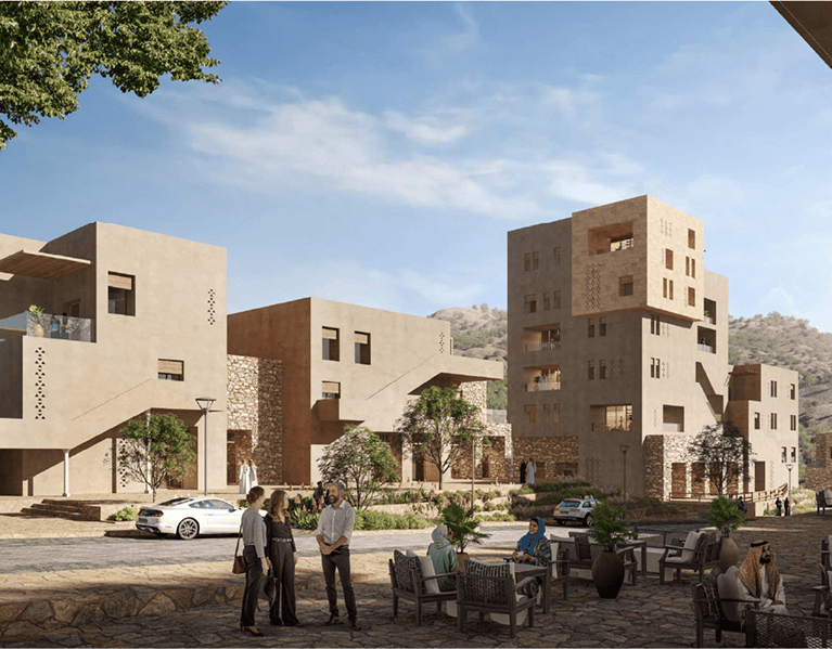

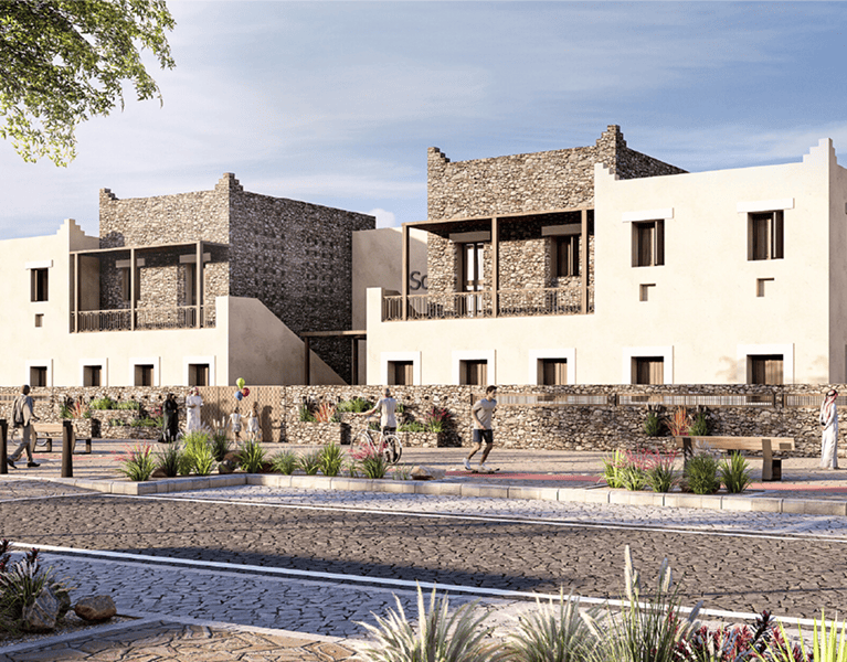
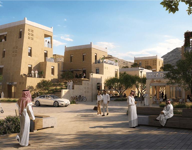
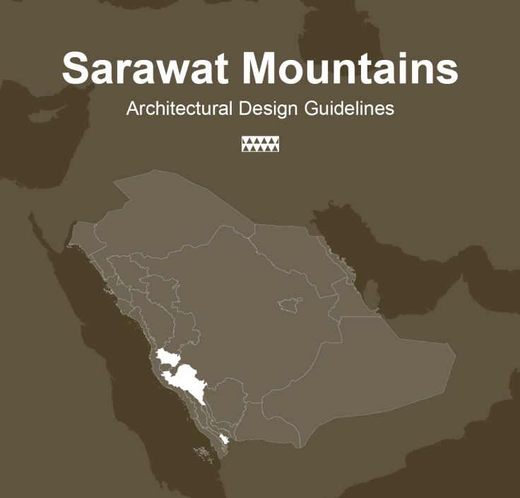
Sarawat Mountains Architecture
Contemporary style
This style is characterized by abstract geometric shapes of varying sizes to enhance the appearance of the solid and hollow parts of the building's masses, while also maximizing the use of natural light. The walls are also distinguished by numerous openings and perforations, with recesses for shading.


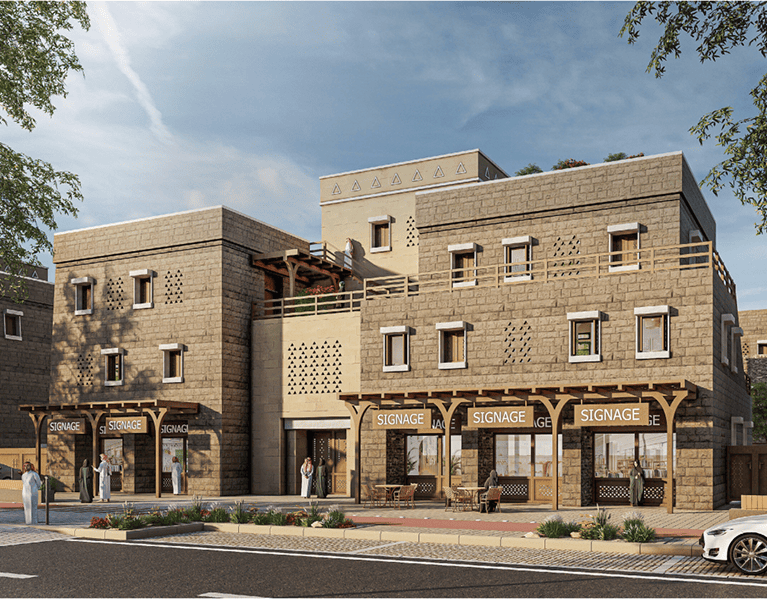
Tihama Foothills Architecture
Contemporary style
This style is characterized by abstract geometric forms that can harmonize and adapt to different types of buildings, and contribute to maximizing natural light within the building. It also features a balance between the volumes of the building blocks and the clarity of the use of patterns and ornamentation, in addition to enhancing shading through internal setbacks and facade screens.

Design Guidelines
A set of architectural and urban guidelines and requirements that guide the design and development of buildings and public spaces.
Applied Guide – Low-Rise Buildings
Download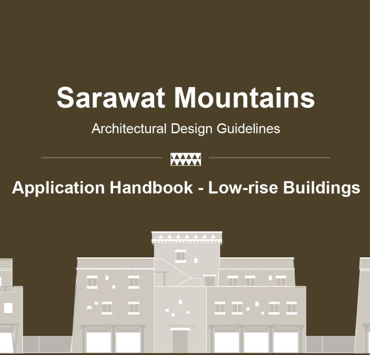
Design Principles
Download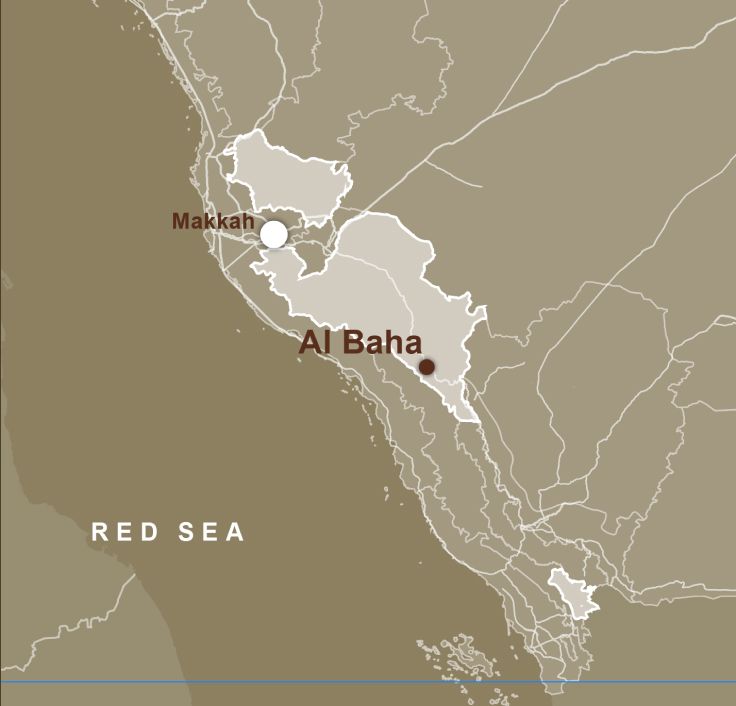
Architectural Style Distribution Maps
Download
Unified Project Submission Template
DownloadYou can also explore more information by visiting
Saudi Architecture WebsiteContact Al-Baha Studio
AlBahaStudio@bso.gov.sa


Explore Also
Geographic Information Systems (GIS) Center and Development of a Geographic Database
The project aims to study and develop a unified geographic database and operate a Geographic Information Systems (GIS) Center within the Strategic Office for the Development of the Al-Baha Region. This center will serve as a unified platform and a primary reference for information relied upon by relevant entities in the development and advancement of the Al-Baha Region. It includes the preparation of a base map for the region and the development of a geospatial platform containing all descriptive and spatial data. The goal is to link and regularly monitor this data in collaboration with development partners, thereby supporting decision-makers in driving the region’s development.
The Urban Observatory Project in the Al-Baha Region
The Urban Observatory is a specialized center focused on collecting data to produce urban indicators (quantitative/qualitative) to measure tangible urban phenomena. The observatory represents a pivotal step towards achieving a sustainable urban environment and contributes to improving the quality of life and enhancing service levels for the residents of the Al-Baha region
The project for preparing regional and local plans in the Al-Baha region
The Regional and Local Planning Project aims to shape urban development policies at the level of the Al-Baha region and its governorates, in alignment with national and local strategies and plans, to meet the needs of the region and its residents, The project also seeks to activate the guiding principles for the design of urban, rural, and environmental areas, as well as urban codes, to ensure sustainable urban development